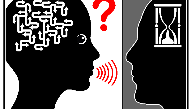

A mix of farmer's intuition, a satellite's sense, a researcher's skill, and a computer's intelligence, together guaranty a better harvest – but Precision is the key.
In this era of technology, traditional practices of farming are getting a 'step-up' from above, a satellite-assisted approach, enabling farmers to make an informed decision than a reasonable guess. The soil scientists and technologists at Somaiya Vidyavihar have collaborated with Space Research Institute (IKI), Moscow, Russia to empower sugarcane farmers at Sameerwadi, Karnataka, through precision farming. Department of Science and Technology has funded this two-year-long Indo-Russian Joint Project. Dr. V C Patil, Director of K.J. Somaiya Institute of Applied Agricultural Research (KIAAR), and Ms. Vricha Chavan, Assistant Professor at K J Somaiya Institute of Engineering and Information Technology (KJSIEIT), are leading the team from India. Dr. Sergey Bartalev, Head of Terrestrial Ecosystems Monitoring laboratory, is leading his team from IKI.
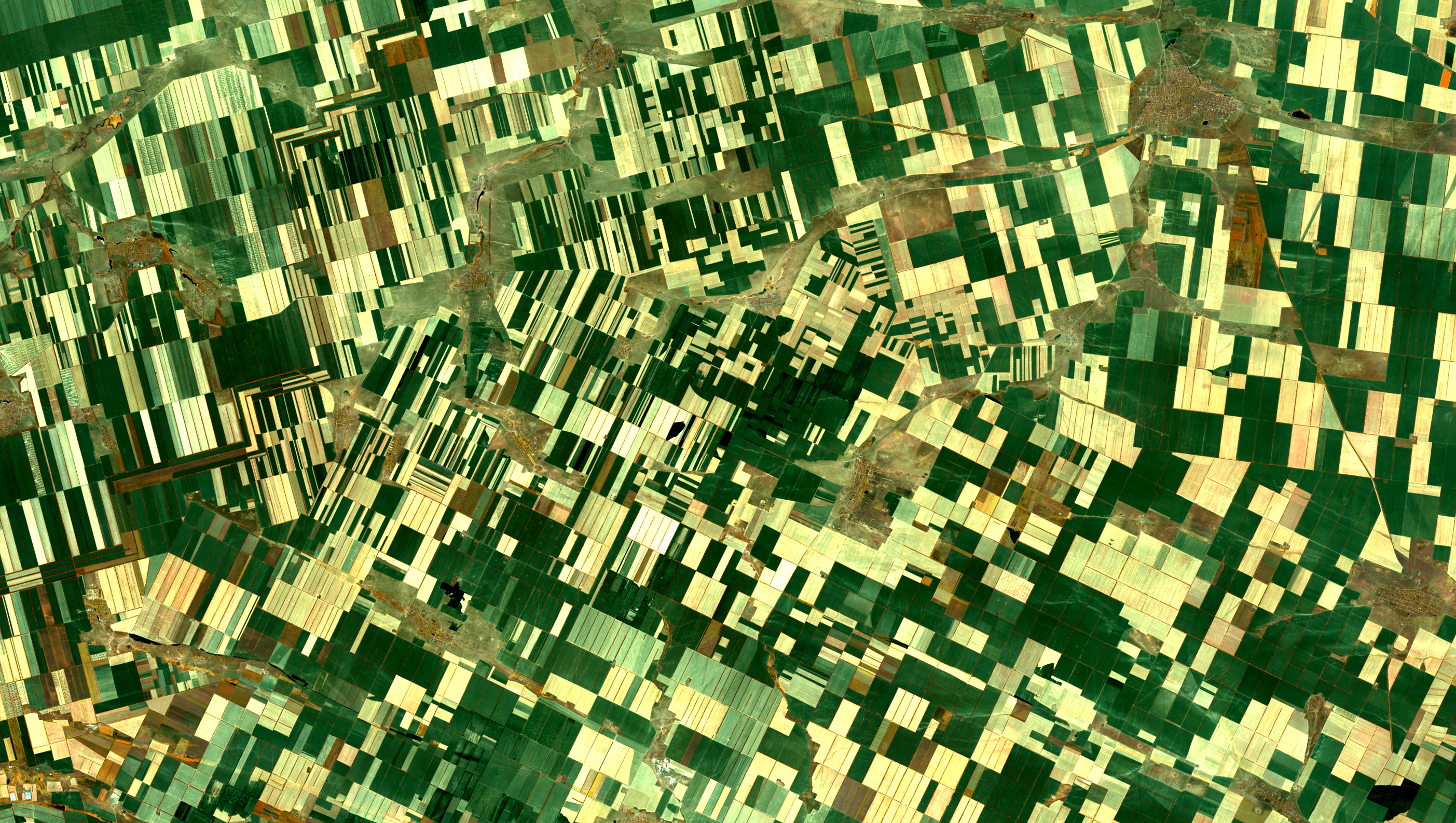
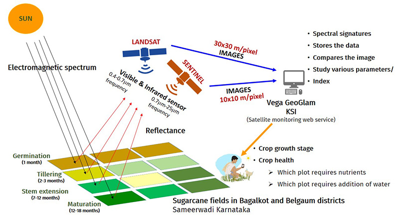
Precision farming requires four main components: an electromagnetic source (Sun), a tool to locate the field’s position (GPS), a device to capture and store aerial shots (Satellite), and an analysis platform to make sense of the pictures (VEGO GEOGLAM). As sunlight falls on the plants, they are either absorbed, reflected, or transmitted. The reflected light varies with the texture, surface area, length, and amount of chlorophyll in the leaves of each plant. The visible and infrared sensors in the satellites 'capture' the reflected light and 'locks' this information with the captured image of the field. Generally, each plant will have a different reflectance, and the corresponding images will have a unique signature. making it easy to identify and differentiate. The study relied on two satellites that differed in their image clarity, sensors, and field coverage.
Researchers have collected satellite images of three sugarcane species (Co 86032, CoC 671, and Co 91010) from 450 fields at various stages of their growth cycle. The library of these images will be assisting them in comparing and differentiating sugarcane species, their growth stages, and crop health in the future. Limited nitrogen content turns the leaves red and yellow during water stress. Each of these events brings a change in the image pattern. The information is 'read' and 'sent' to farmers with tips on how much fertilizer or water is needed? Or where it is required?
Dr. V C Patil, the lead investigator of this project, sums up the key findings as:
- The ground survey has been done with more than 724 sugarcane samples with different agronomic parameters.
- Arable land mapping has been completed.
- Crop classification and variety identification has been completed.
- Evaluation of vegetation indices for assessing crop water status and nitrogen status has been completed.
The growing population and poor yield in agriculture are putting humanity at stress; the danger to food security is round the corner. Our best survival plan is to increase agricultural productivity, precision farming will lead the way !!